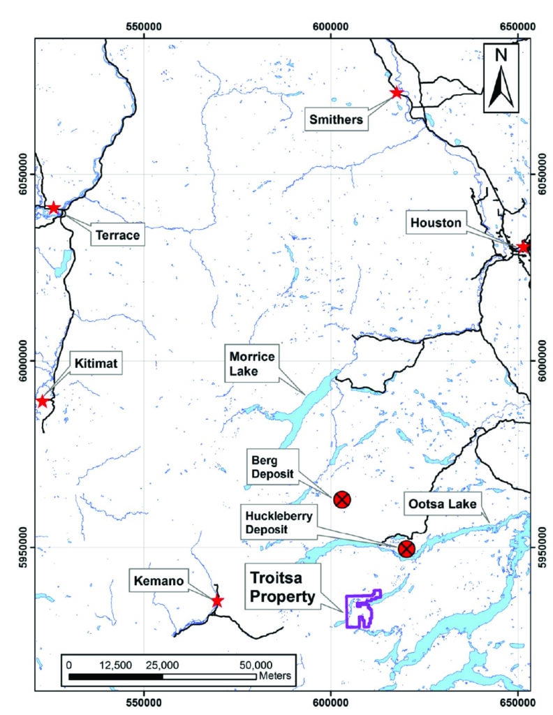
Troitsa Copper Property
140 km south of Smithers
Access by:
- helicopter from Smithers, Houston or Terrace
- Staging areas on various logging roads or the Huckleberry minesite within 20 km
- float plane landing on Troitsa Lake
- Ferry across Ootsa Lake provides access to logging roads on south side
Main Zone – Porphyry Cu (Mo-Au-Ag)
225m @ 0.12% Cu (11-01)
164m @ 0.20% Cu (11-07)
355m @ 0.12% Cu (11-02)
265m @ 0.17% Cu (11-09)
245m @ 0.14% Cu (11-04)
170m @ 0.22% Cu (12-10)
➢ Higher grade porphyry dykes within Main Zone
o 14m @ 0.63% Cu, 0.010% Mo, 7.0 g/t Ag, 0.03 g/t Au (11-03)
o 19m @ 0.65% Cu, 0.004% Mo, 4.8 g/t Ag, 0.05 g/t Au (12-09)
o 25m @ 0.71% Cu, 0.002% Mo, 4.6 g/t Ag, 0.04 g/t Au (12-10)
➢ 8 of 11 holes intersected long Cu intersections
➢ Main Zone traced for 500m
➢ 121 m channel sample returned 0.28% Cu
Large Porphyry System
➢ Cu, Mo, Au, Ag mineralization in rocks, soils and talus over at least 5 km by 2 km
➢ Host is Bulkley intrusive suite, same as for Huckleberry Mine (Imperial Metals) and Seel and Ox deposits (Surge Copper).
Excellent Exploration Potential
➢ Magnetic anomaly outlines large intrusion mapped by BC Geological Survey
➢ A dozen, untested large, coincident IP chargeability & resistivity anomalies
➢ Outside the Main Zone, exploration largely limited to prospecting
➢ Retreating glaciers exposing new areas near mineralization since 2012 work
➢ Airborne ZTEM survey completed over area
Access
➢ Helicopter only access – Smithers, Terrace< Huston
➢ Considerable activity in region using helicopters
➢ Ferry across Ootsa Lake provides access to logging roads
➢ Staging areas for helicopter are 21 km from Main Zone (Huckleberry mine site or logging roads)
Ownership and Tenure
➢ Ken Galambos, P. Eng., Ralph Keefe & Shawn Turfield – well known and successful BC prospectors
➢ Large property – 21 mineral tenures (51 sq km)
Work Completed
➢ 1966: prospecting discovery
➢ 1966-73: geological mapping, geochemical sampling and ground and airborne geophysical surveys; at least 6 drill holes (no public records, shorter)
➢ 1983: Payday Resources completed soil and rock sampling, mag survey (NW area)
➢ 1999- 2006: prospecting, larger property staked by current owners
➢ 2010-12: Callinan Mines Ltd. prospecting, geochemical, IP and magnetic surveys, airborne ZTEM survey, and 3777 m of diamond drilling in 11 holes
➢ 2013: Granite Gold completed two-day helicopter recce
➢ 2014-2021: No work